Pukchang County (Pukch’ang-gun)
Pukch'ang County is a kun (county) in South P'yŏngan province, North Korea.
In 1952, Pukchang County was formed from the former area of Maengsan County and Tokchon. Since then, the county has been changed multiple times by merging in or transferring out some areas.
In January 2000, Tukchang district was abolished and transferred to Pukchang County. However, the district reappeared in the 2008 North Korea Census.
Map - Pukchang County (Pukch’ang-gun)
Map


Country - North_Korea
 |
 |
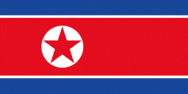
| Flag of North Korea | |
In 1910, Korea was annexed by the Empire of Japan. In 1945, after the Japanese surrender at the end of World War II, Korea was divided into two zones along the 38th parallel, with the north occupied by the Soviet Union and the south occupied by the United States. Negotiations on reunification failed, and in 1948, separate governments were formed: the socialist and Soviet-aligned Democratic People's Republic of Korea in the north, and the capitalist, Western-aligned Republic of Korea in the south. The Korean War began in 1950, with an invasion by North Korea, and lasted until 1953. The Korean Armistice Agreement brought about a ceasefire and established a demilitarized zone (DMZ), but no formal peace treaty has ever been signed.
Currency / Language
| ISO | Currency | Symbol | Significant figures |
|---|---|---|---|
| KPW | North Korean won | â‚© | 2 |
| ISO | Language |
|---|---|
| KO | Korean language |